![]()
![]()
Land Items and Features
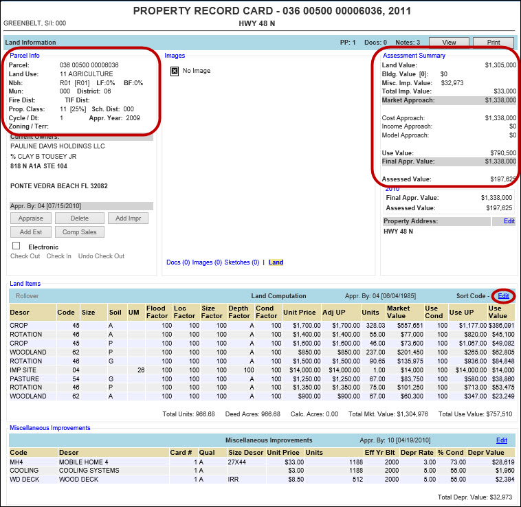
Land Items and Features can be added, edited, and deleted through the Land Computation and Land Features hyper-regions on a parcel’s General Info tab. Capture allows the user to enter various types of land and the way in which the land is being used. Land used for certain purposes are entitled to exemptions and it is through these hyper-regions that land is classified.
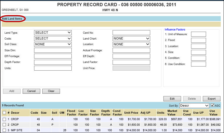
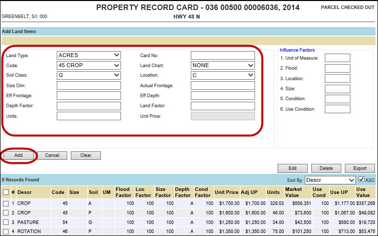
Add New Land Item
Click one of the following: Parcel Info hyper-region, Assessement Summary hyper-region, or Edit hyperlink for the Land Items section to display the Add Land Items screen
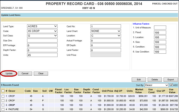
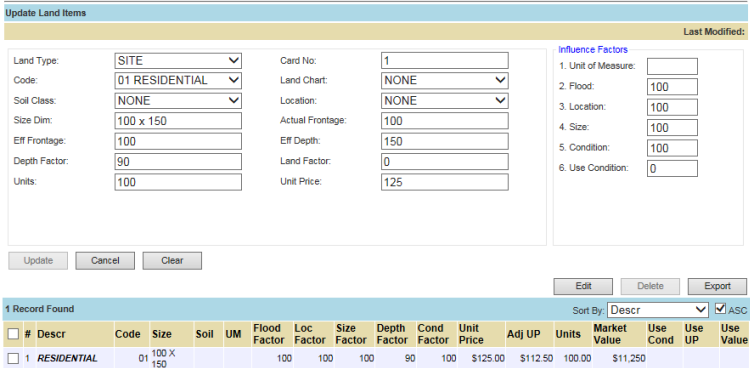
Enter information in the Land Items such as Land Type, Code, Units, etc. and Influence Factors such as UM, Flood, Location, etc.
The new Land Item is added to the list below
Note: Only 6 land items will show per printed card; if more than 6 land items are entered per card the PRC will not print correctly. |
| Note: Order # will affect the order the items show on the PRC. |
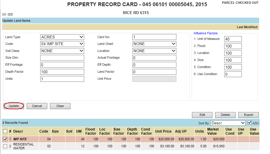
Edit a Land Item
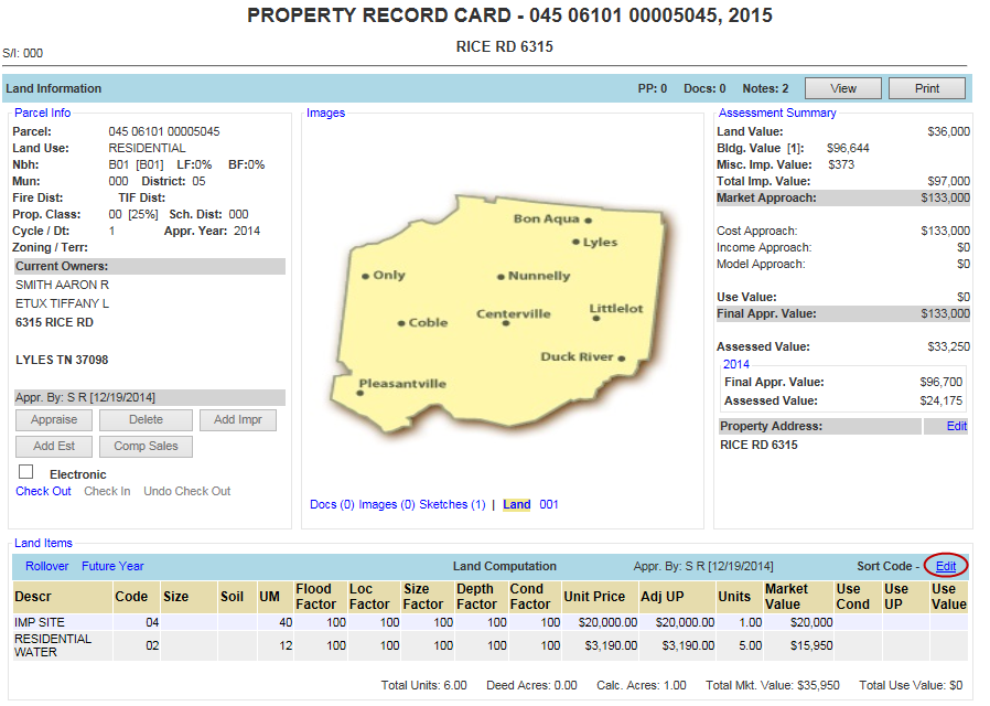
Click the Land Items Edit hyperlink
Check mark the Land Item to be updated
Click Edit and make necessary changes
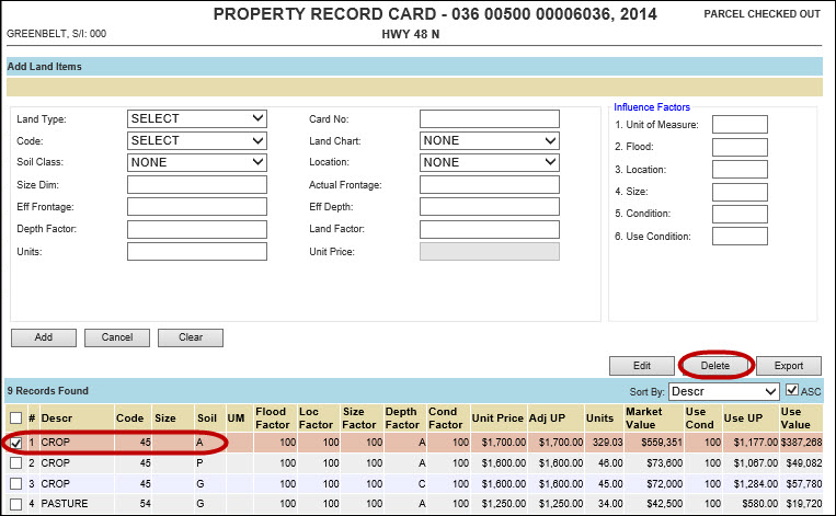
Delete a Land Item
Delete a Land item
Click the Land Items Edit hyperlink
Checkmark the Land Item and click Delete
The item is removed from the list
![]()
Confidential | Copyright © 2001-2015 E-Ring, Inc.